It is hard to believe that our month’s stay at Bald Head Island has come to an end.


Most of our mornings began with a three mile walk on the beach.


“Bird banding is important for studying the movement, survival and behavior of birds. About 60 million birds representing hundreds of species have been banded in North America since 1904. About 4 million bands have been recovered and reported.
Data from banded birds are used in monitoring populations, setting hunting regulations, restoring endangered species, studying effects of environmental contaminants, and addressing such issues as Avian Influenza, bird hazards at airports, and crop depredations. Results from banding studies support national and international bird conservation programs such as Partners in Flight, the North American Waterfowl Management Plan, and Wetlands for the Americas.”
Several days later we found a second banded bird decomposing in the sand. This little fellow was an arctic tern . For some reason the banding program did not have this bird in their data base but promised to send the information to us later.
Thanksgiving weekend was busy with lots of different events scheduled. The 5k turtle trot kicked off Friday morning.


The forecast showed a two day weather window approaching towards the end of the week for our 48 hour run to St. Augustine. As the weekend approached, we continually checked the forecast every few hours as we watched this window slowly shrink from optimal to tolerable. Pre morning departure, the winds whipped through the marina with vengeance as a cold front passed through. As our weather window continued to deteriorate, we charted and recharted bail out plans if needed.
With the winds still gusting on Friday, our departure day, we again recheck all the forecast. Things still look doable for at least 24 hours. A decision is made to stick our nose out at noon and evaluate the seas as we work our way south. There are several inlets that we can run into and continue south on the ICW if conditions become too rough.
Once clear of Cape Fear Shoals and out into the Atlantic, we are pleasantly surprised to find only 2-3 ft. seas. The day slowly dwindles into evening with conditions holding.


Nearing Charleston, our AIS comes alive with targets. We carefully weave our way past four freighters as we cross the Charleston Inlet at 2 AM. Once through this busy area we have the ocean all to ourselves and see no other boats.
Pre dawn the seas seem to be building although the forecast still predicts only 2-4 ft. seas. By 10:00am we have 4-5 foot seas. With the winds being out of the northwest, conditions are tolerable. We are concerned with these building winds and seas as the winds are forecast to switch to the east this afternoon and evening which would be directly on our beam. Conditions could get much worse when these winds shift if the seas continue to build. We should be to the Tybee Roads Inlet and the Savanah River by noon. We will make our bailout decision once reaching this mark.
Want to hear something odd?
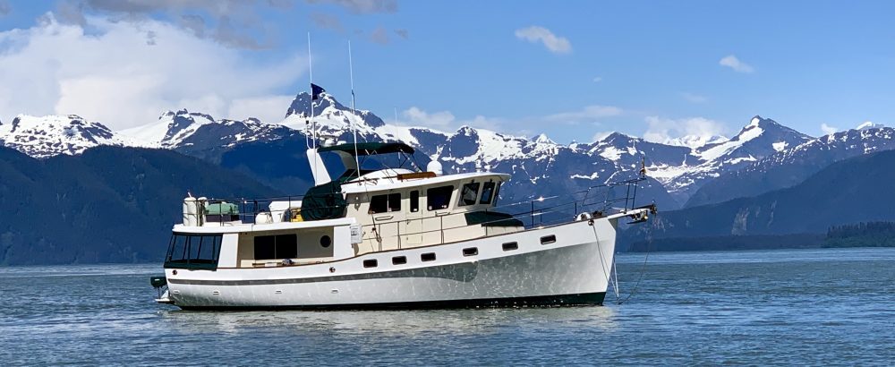
Right now 12/9/2016 on board my Cheoy Lee, 47′ at Southport Marina. Name of the boat Idylltime